UTIG’s Sean Gulick sent an update on the Totten Expedition from the RVIB Nathaniel B. Palmer:
“We have now completed our third week of surveying in the Totten Glacier / Moscow University Ice Shelf area. During Week 3 we acquired an additional, nominally 16-hour seismic survey in the Moscow University Ice Shelf area. This survey was ~65 nm in length and included a strike line in front of the primary morainal bank imaged on our previous day of surveying (see Week 2), an oblique line back to south of this moraine, a line crossing the morainal bank in the dip direction and an attempt to reach the next moraine to the northeast.
“Unfortunately ice stopped us and thus we shot first west and then southeast to investigate the glacial features and deeper dipping strata between the two large moraines. Lastly we shot a line southwesterly down the slope towards the topographic low where crystalline basement crops out. The southern moraine and its immediately adjacent sedimentary products were well imaged including the megascale lineations superimposed on the larger morainal banks. We continue to observe regional erosional surfaces at the base of the moraines and these surfaces coming close to the seafloor on the slope flank between the southern and northern moraines. These allow for reflective packages within the sub-moraine sedimentary strata, which dip seaward, to be accessed within a few meters in places of the seafloor. These sites were targeted for first dredging and later coring to establish the age of these older units. The dredges returned lots of ice-rafted or grounding line transported crystalline rocks along with mudstones and diatomite’s. The coring in particular was successful as we brought up siltstones from where one of the seismic reflectors cropped out that are either Miocene or early Pleistocene and then a lithified sandstone from slightly deeper in the section.
“The bathymetry shows a number of cross-cutting interesting features such as grounding zone wedges that stack in sweeping sets that we are nick-naming feather moraines, possible parabolic dune forms, and parallel megawaves. We also carefully targeted a narrow drift deposit to look at the Holocene sequence in detail and achieved a 13 m piston core showing the complete deglacial which is a great success. A bottom photography run within a major seafloor trough observed a variety of life at the seafloor including brittle stars, with sea urchins and polychaete tubes living on a seafloor dominated by diatom drifts and drop stones. Comparing our bathymetry and seismic data to Jamin’s gravity work its become clear that the Dalton Rise known for grounded icebergs year round and a negative gravity anomaly, is a thick sedimentary sequence. Additional events this week included installing two physical oceanography moorings that will be picked up in a year by the Australians and a large number of CTDs taken to examine the pattern of warm water (>0 degrees C) that seems predominant on the sedimentary high within ~150 m of the seafloor.
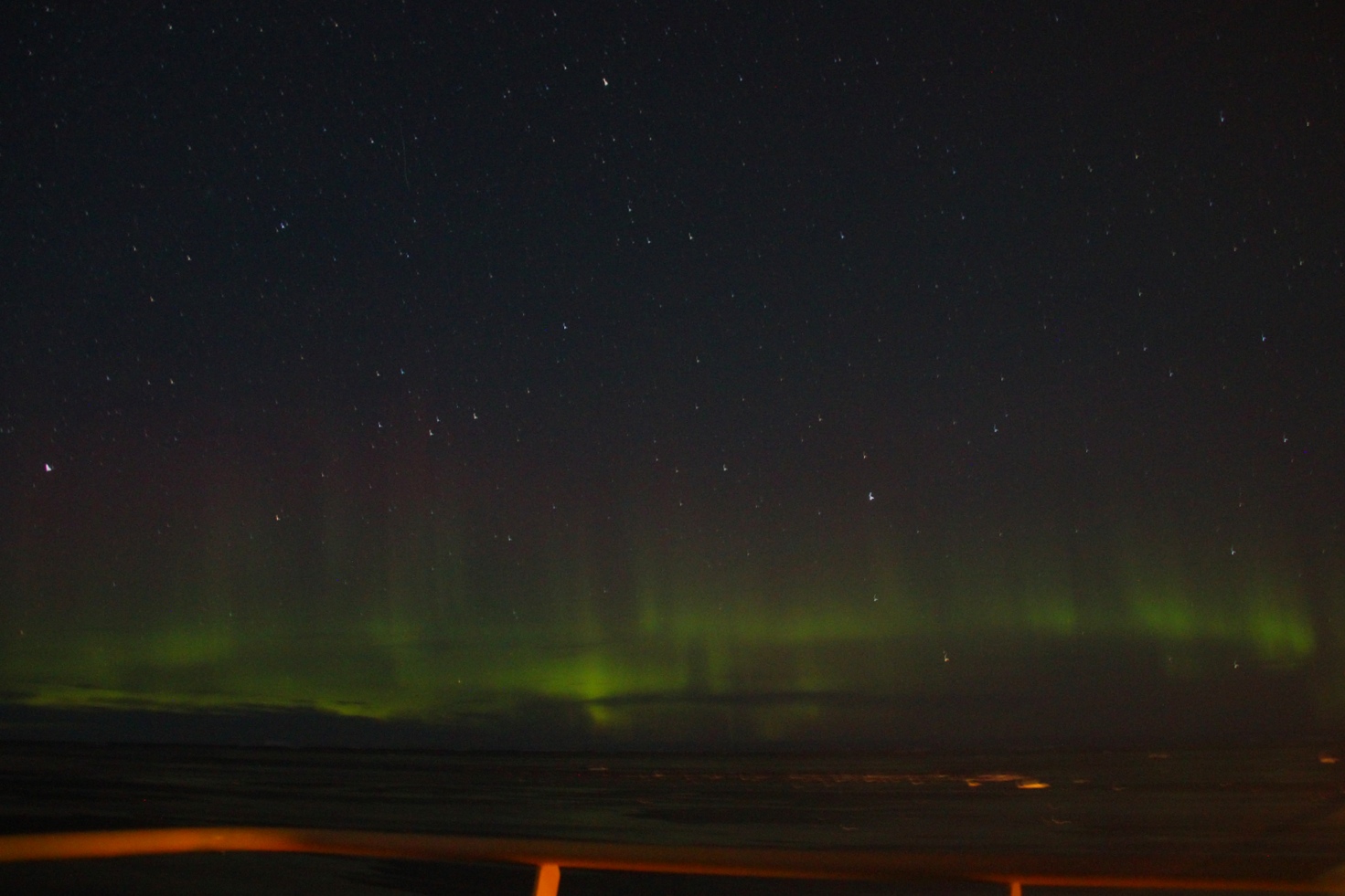
“Food continues to be great despite fresh vegetables running out. We now have a ship wide corn hole tournament playing out. Cornhole is a midwestern game played by trying to toss bags of dried corn into a hole in a slanted board at a distance of 26 feet. In our case its bags of lentils and it proves to be a more interesting game when played in a helideck hanger on a rolling ship. The teams were drawn randomly and all the UT folks ended up with non-UT team members, so odds are with us that some Longhorn may make the finals. So far Steffen’s (Saustrup) team, Rodrigo’s (Fernandez) team, Bruce’s (Frederick) team, and my team have reached the quarter finals. We continue to have great sunsets and sunrises. We saw the aurora australis the other night, and continue to see lots of penguins including Emperors.”