The Marine Geology and Geophysics Field Course needs your help to raise $10,000 and train next year’s class of student geoscientists like Sophie Goliber.
Make your gift today at hornraiser.utexas.edu/supportMGG
For Sophie Goliber, the Marine Geology and Geophysics Field Course was an opportunity to experience how to collect data in the field, learn how to work with teams in high pressure environments, and even find out something about herself.
“Good science can’t really be done on your own,” said Sophie. “You have to work with each other every step of the way, and that takes a lot of talking and listening and asking questions.”
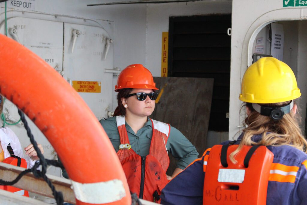
During the field course, teams of four students spend a full day conducting science aboard the R/V Brooks McCall. The work includes deploying seismic imaging and sonar equipment, taking sediment cores and preparing samples for the journey back to the lab. The experience is just like any large, international geophysics cruise.
“Working on a ship like this can be super dangerous,” said Sophie, “so you need to be paying attention all the time to yourself, to your teammates, and to the other crew members.”
Sophie is a remote sensing glaciologist, which means she spends a lot of time looking at satellite data and tracking the ebb and flow of glaciers over time.
“I decided to take the class because I don’t get many opportunities to go to the field and see how data is gathered,” she said.
Although Sophie’s research focuses on retreating ice sheets in Greenland, studying sediment layers in the Gulf of Mexico isn’t actually all that different.
“The seismic data we collect here is similar to ice penetrating radar data,” she said. “In fact, the bathymetry data is collected the same way that we collect it in the fjords in Greenland to understand glacial moraines.”
By teaching young scientists like Sophie how to collect and process raw field data, the course offers unique insights into how to use data more effectively. “I can be a much more effective scientist because of it,” said Sophie.

Although Sophie is passionate about her research on ice sheet change, when asked about the science they are conducting on the Brooks McCall, her face lights up and for a few moments, Arctic ice is far away on the other side of the world.
“There are actually a couple different questions we are trying to answer here,” she explained. “One of them is looking for signs of ancient river valleys and channels of the Nueces [river], and the other is the effect of hurricanes on the area.”
The field course – alongside other science cruises led by UT Jackson School of Geosciences – has, over the course of more than a decade, regularly surveyed the Lydia Ann Channel and Corpus Christie Bay in the Gulf of Mexico. By comparing the new information with past field course surveys, the students can see the effect of past powerful storms on the sea floor’s geometry. Amazingly, they can even measure the energy of an individual storm by the size of sand grains it carries with it.
“Larger grains mean more energy, smaller grains less,” explained Sophie.

Sophie and her classmates are students, but the science questions they are asking are big, important questions that will make a significant difference to planning coastal defenses and managing coastal resources in Texas.
Answering these kinds of questions is never easy. The students have to plan missions, gather data at sea, process and examine what they find, then write-up and present their results to their peers.
The success of the course is that the experience mirrors the challenges and excitement of large international geophysics research expeditions.
“Above all, you learn what it takes to be a good scientist,” added Sophie.

