
This is a dispatch from Constantino Panagopulos, a science writer at the Jackson School of Geosciences, who is documenting the TERMINUS mission to explore Greenland glaciers from underwater. The mission is led by Professor Ginny Catania and collaborators. Learn more about it here.
Ancient snow-capped peaks guard the entrance to the glacial valley. There’s less than half a mile of seawater between us and the glacier, with its river-like trail that weaves a jagged path to the mountains beyond.
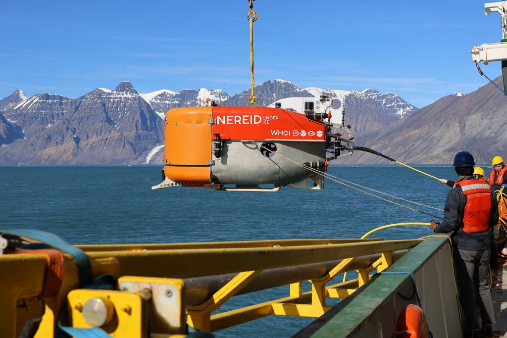
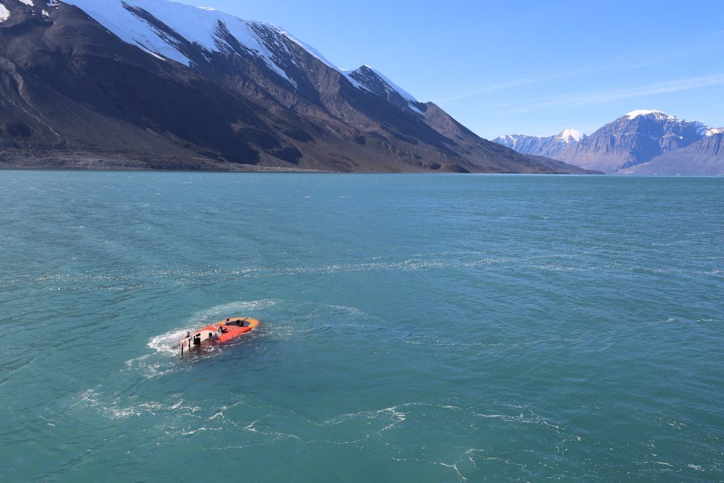
I’m aboard the research vessel Celtic Explorer and I’m watching the robot submersible Nereid Under Ice (NUI) maneuvering just off the starboard bow, its bright orange and red bay doors peeping above the surface.
It’s 2 pm on day three of my assignment with the TERMINUS Greenland research expedition. In a few moments, NUI’s vertical thrusters will burst into life and carry it down to the murky deep.
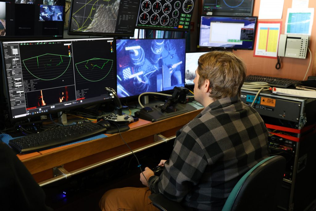
The NUI team including its pilot (and his repurposed X Box controller) are topside in the Celtic Explorer’s science operations room. Their attention is fixed on the instrument panels in front of them, keeping an eye on the submersible’s position and making sure it’s in good shape. In water this cloudy, navigation is by sonar and echolocation, and thus, done very carefully.
NUI is the centerpiece of the TERMINUS Greenland project, a scientific underwater exploration of Greenland’s glaciers that’s led by Ginny Catania, professor at the Jackson School of Geosciences and the University of Texas Institute for Geophysics. The submersible is both a remotely operated vehicle, tethered to the ship by a slender fiber optic cable through which it is piloted, and an autonomous drone, able to follow a predetermined survey route before finding its way home.
“I see NUI as the star of this expedition,” Catania said. “The science we’ve done with NUI has been incredible. Just seeing it in action and the organization behind it has been a career highlight.”
NUI’s dives so far have revealed deep channels, overhangs and ice caverns along the glacial wall.
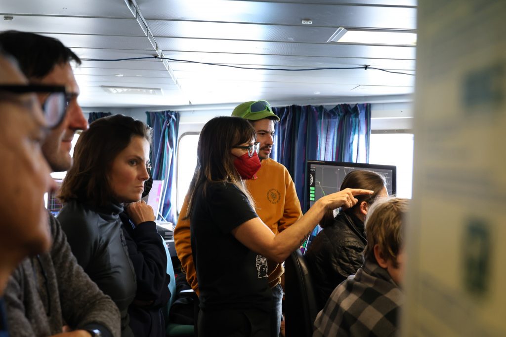
NUI expedition leader, Molly Curran of Woods Hole Oceanographic Institution, which developed and operates the submersible, later explained to me why NUI is so uniquely suited to this kind of environment.
The vehicle’s fiber optic cable allows it to be directly controlled from distances up to 8 km away and reach depths of at least 4 km. That’s ideal for navigating the jagged underwater face of a glacier from a safe distance. Conventional ROVs are unable to stray further than a few dozen meters while autonomous vehicles would almost certainly get lost in the glacier’s underwater ice caves.
“Only a hybrid vehicle allows us to get to these hard-to-reach places,” she said.
Two hours into the dive, NUI encounters just such a cavern and, for a while at least, the pilot allows it to drift into the icy chasm.
“Oh my god what is that?” says Catania. The video feed shows only turbid water, but the cavern’s walls are clear in the vehicle’s sonar. The other scientists crowding round the NUI team gasp in disbelief.
Over the course of the next hour and a half, NUI carefully makes its way along the length of the glacier, mapping it from top to bottom with a multibeam sonar. Multibeam sonar is typically used to create bathymetries of the seafloor but at the UT scientists’ request, the NUI team have jury-rigged the instrument to NUI’s side and pointed it at the glacier’s face.
By 5:30pm the multibeam survey is complete and the team have made history using it to map the face of a glacier.
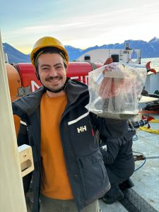
Its primary mission complete, the NUI team direct the vehicle to its next objective. Catania and her team have selected four locations just meters from the glacier, where NUI will run its ocean sensors vertically from surface to seafloor. At the bottom NUI will use its robotic arm to push clear plastic tubes into the seafloor and retrieve foot-long sediment cores for later study.
At the first site, a wide-eyed tiny shrimp peers into NUI’s high-resolution camera as the pilot maneuvers a sediment core into place. There are no curious visitors at the second site, where sediment rivers pouring out from the glacier bring visibility to zero. The pilot works quickly before NUI’s instrument bay fill with sand.
Shortly after 7pm, while on its way to the third site, NUI’s fiber optic tether breaks. The video feed cuts out and the pilot’s control is severed. The team quickly program a secondary science route and transmit it acoustically through the water. Without direct pilot control NUI is unable to gather more sediment cores but it’s still able to complete the rest of its science mission autonomously, before returning to the Celtic Explorer some three hours later.
Curran explains that breaking the fiber optic tether was always a risk in the fjord, where the movement of the glacier has left parts of the seafloor scattered with moraines. It’s likely that the cable caught on one of these shallow drifts and snapped. Catania and Curran have no complaints; the dive was an unmitigated success.
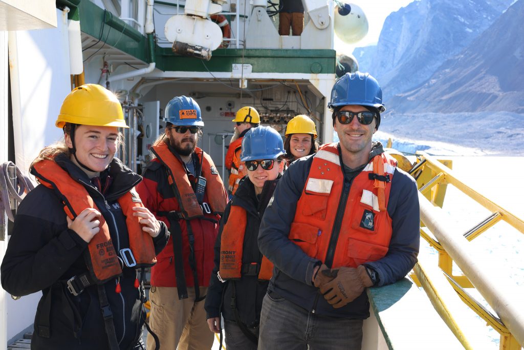
With NUI safely back on deck, the team will spend the following day servicing the vehicle, replacing the fiber optic tether, and prepping it for its next dive.
Catania still has her eye on returning to Kangerlussuup Sermia, the expedition’s first glacier. That glacier is much larger and more erratic than the current one and thus scientifically more important. NUI has already mapped that glacier’s seafloor and moraines. But they’ve yet to map it’s face with multibeam or take vertical measurements of the water column.
Both of those will be much harder at the larger glacier but the NUI team and the scientists of the TERMINUS expedition are eager to take on the task.
This is the fourth dispatch on the mission. To see the rest, visit the TERMINUS mission blog.
