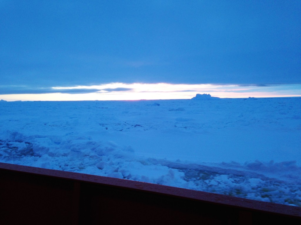
Several UTIG researchers are part of the Totten Expedition, currently in East Antarctica aboard the RVIB Palmer. The expedition left Hobart, Tasmania, on January 29, with its first destination being the Mertz Glacier area.
Last week, the expedition traveled to the Totten Glacier area east of Law Dome, and continued its work there.
UTIG Associate Professor Sean Gulick sent these notes from the first week of findings:
“We arrived at the Mertz Glacier area and broke ice into a polyna that was recently enlarged when the Mertz Glacier ice tongue (~75 km long) was broken off by an impacting iceberg in 2010. This site is our secondary target but the closest point in East Antarctica and thus our first field area. We planned on 48 hours of operations once we broke through the ice.
“The operations include the UTIG team acquiring ~125 km of high-res seismic lines that will serve as a site survey for a potential future IODP expedition, significant multi-beam bathymetry mapping as much of the shelf is unmapped, underway CTD, stationary CTD and water sampling, and dredging. We focused on the sloping area into the glacial depression (~1750 m deep) west of where the ice tongue used to be and mapped and did CTD measurements along the exposed ice face…All equipment worked quite well despite the -10 C temps (-35 wind chill).
“One of the dredges targeted the Eocene-Oligocene boundary that appears as an outcrop on the side of the glacial channel and which we imaged. We recovered both till and intact boundary sequence sandstones; this is a significant target as its marks the transition into a glaciated Antarctic which is quite apparent in the seismic signatures above versus below the boundary. It’s all underlain by what are likely tilted blocks from the Antarctica-Australia rifting.”
Gulick recently sent a second update as follows:
“It’s been an exciting week since we transited from the Mertz Glacier area near the George V coast to the Totten Glacier area east of Law Dome. We successfully broke ice to get into a polyna in the southeastern part of the Totten shelf. We acquired three really fascinating seismic profiles showing moraines from glacial advances overprinted by what look to be megascale lineations from glacial retreat.
“The bathymetry showed amazing features where exposed crystalline basement to the southeast has lineations within it that in turn line up with flutes in the sediments farther offshore. Lots of discussions on the origins of these features. After many stations for physical oceanography including finding some bottom waters >0 C and we headed into the ice to try and reach the Totten Glacier front. We failed to reach it on our first attempt but then based on new satellite imagery that suggested an alternate route we tried a second time.
“We noted open water just off the terminus with what was thought to be an area of smooth first year ice in front of it. After many hours of breaking ice we reached the smooth expanse only to discover it was multi-year ice and impenetrable. Reaching this far west did overlap with the UTIG acquired aerogeophysics grid, providing an opportunity to verify the existence and significance of some potential canyons.
“Before getting turned back by thick ice, the first of these large canyons was found and the water properties within were measured, data that may help understand why the glaciers in that area of the coastline are changing so rapidly. In total, the NBP crossed three of the aerogeophysical lines and sailed in other areas where the aircraft did not fly. Afterwards we beat a very slow way back through the ice that closed behind us but we acquired physical oceanography stations when possible. We also collected a couple of cores discovering only a couple of meters of recent sediment about the till. As we start into week 3 we are back in open water off the Moscow University Ice Shelf and surveying for bathymetry, oceanography, and planning the next seismic survey.
“Jamin, being the numbers guy, came up with this tally – Since entering the continental shelf area of the Sabrina Coast we’ve accomplished (not including seismic):
1,563 line km of multibeam and chirp data
260 km of seismic data
6 rosette CTDs
57 underway CTDs
4 3m kasten cores
1 6m kasten core
1 mooring deployment
2 JPC attempts
1 yoyo camera drop”
According to Gulick, life at sea has not been too bad: “Food has continued to be really excellent with the fresh fruit and veggies holding out. They make ice cream out here using liquid nitrogen, which is an impressive mad-scientist looking affair. A corn hole tournament is planned for the next week which should be entertaining on a moving ship,” he added.
Gulick and Dr. Don Blakenship of UTIG are among the principal investigators on the expedition. Other principal investigators include Professor Eugene Domack and Assistant Professor Amelia Shevenell of the University of South Florida, Bruce Huber of the Lamont-Doherty Earth Observatory at Columbia University and Dr. Alejandro Orsi of Texas A&M University.
The chief scientist for the Totten Expedition is Professor Amy Leventer of the Department of Geology at Colgate University.
Also aboard the ship for UTIG are Rodrigo Fernandez, Bruce Frederick, Steffen Saustrup, Jamin Greenbaum and David Gwyther, a University of Tasmania PhD candidate currently completing a Fulbright scholarship at the University of Texas at Austin.
Read more about the Totten Expedition here.
(Photos courtesy of Totten Expedition crew, submitted by Sean Gulick)

