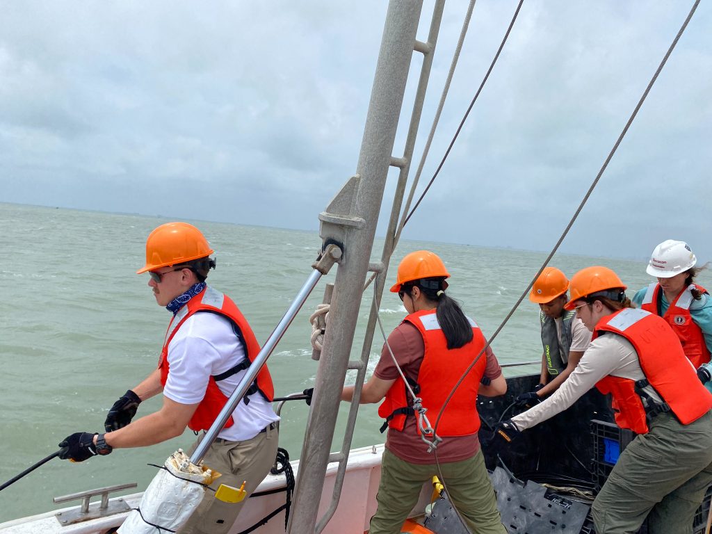
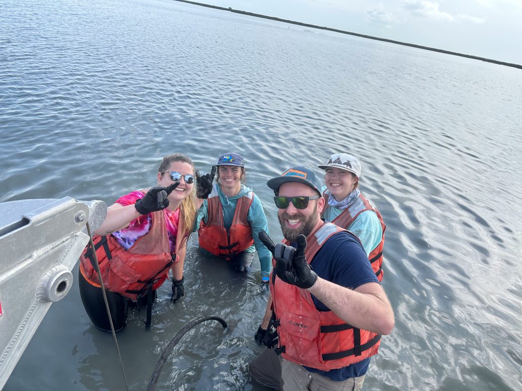
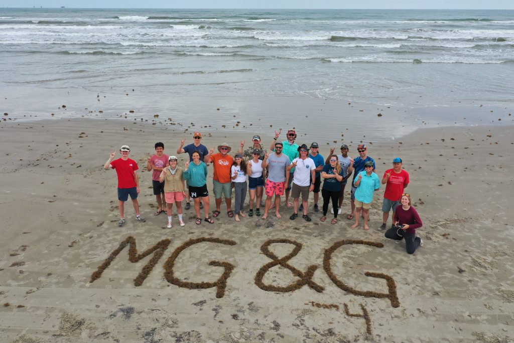
In May, the Jackson School of Geosciences’ Marine Geology and Geophysics Field Course travelled to Port Aransas to gather data on coastal processes in and around Corpus Christi Bay.
The class included several field course firsts, including use of a landing craft for deploying instruments in the bay’s shallows, a LIDAR-equipped drone, and extra days for lectures, labs, field work and research projects thanks to UT Austin’s creation of a formal May Term.
Decked out with their signature orange hardhats,* the students took to the sea and shoreline aboard UTIG’s R/V Scott Petty and UT Marine Science Institute’s R/V Katy and R/V Curt Johnson.
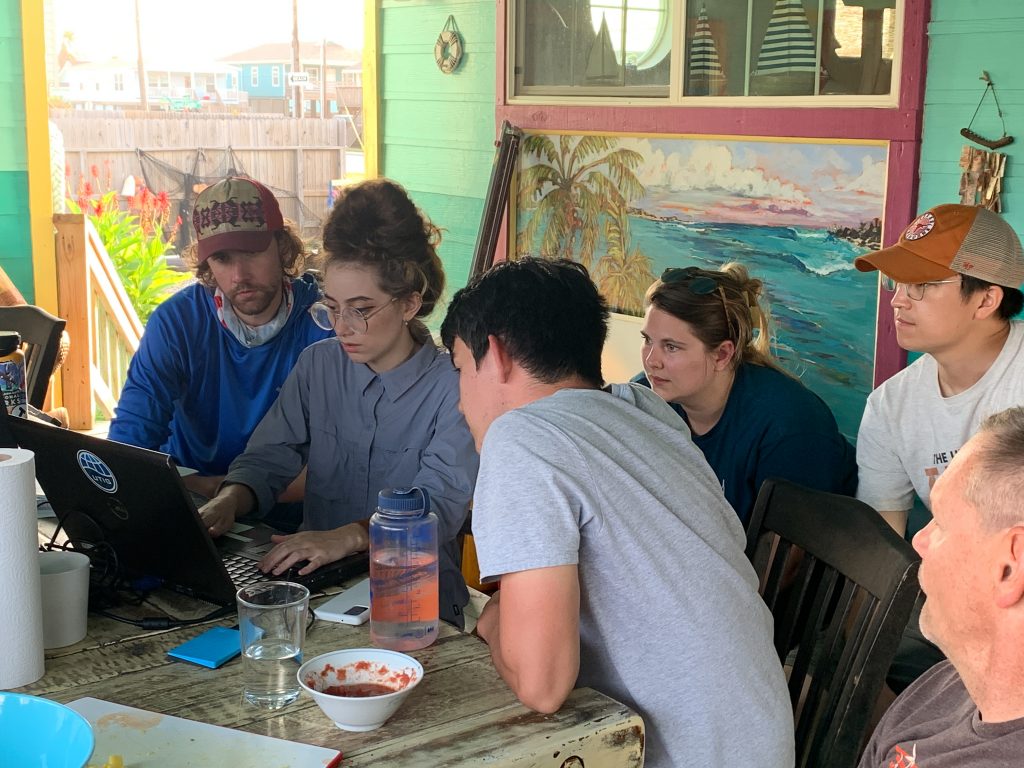
Students learned to use geological and geophysical instruments commonly used on major ocean science cruises. Just like any other research cruise, once they’d acquired their data, the students analyzed and interpreted their findings before presenting their research on the last day of the course.
Their research projects ranged from the origins of natural gas deposits, to assessing hurricane damage, and an ecological analysis of an upcoming major dredging plan for the Corpus Christi ship channel.
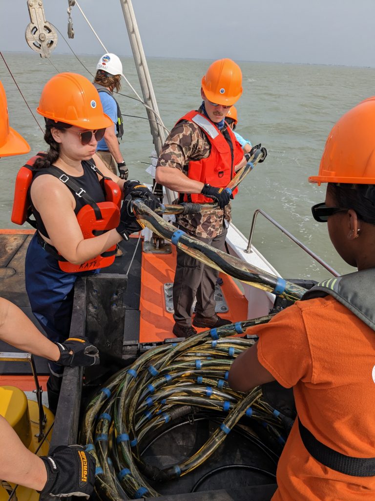
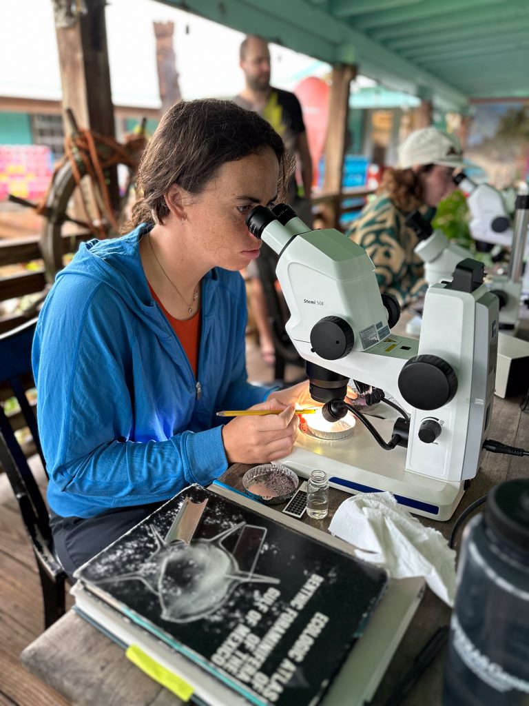
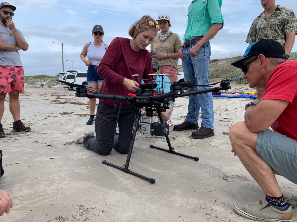
See more photos at our Flickr album.
Learn more about the field course at UT Marine Geology & Geophysics Field Course.
This year’s research teams were:
Team 1: Soraya Alfred, Maclean Landau, Mandala Pham
Nature of Gas Pockets in Aransas Bay
Team 2: Graciela Lopez Campos, Jacob Margoshes, Kevin Shionalyn
Geomorphic Impact: Hurricane Harvey in Lydia Ann Channel
Team 3: Joshua Edgington, Llewnosuke Priimak, Mercedes Jordan
Characterization of Dredged Sediments in Aransas Pass, Texas
Team 4: Nicole Czwakiel, Kaitlin Schaible
Sediment Analysis of Aransas Pass and its Implications for the Corpus Christi Dredging Project
* New safety gear was purchased through the Paul Gucwa Memorial Fund. The UT MG&G Field Course warmly thanks all our sponsors, whose generosity ensures the continuation of the field course!
