
This is a dispatch from Constantino Panagopulos, a science writer at the Jackson School of Geosciences, who is documenting the TERMINUS mission to explore Greenland glaciers from underwater. The mission is led by Professor Ginny Catania and collaborators. Learn more about it here.
Science happens around the clock aboard the Celtic Explorer. Today I’m joining the day shift team, which takes over at noon.
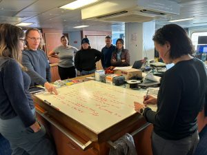
While the two shifts are overlapping, the scientists gather for a daily handover meeting. They congregate around the expedition’s chief scientist Ginny Catania, a professor at the UT Jackson School of Geosciences, to share news of the previous night’s work and discuss the day ahead.
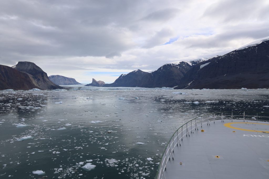
The Celtic Explorer has spent the night conducting surveys a little over 3 miles from the face of the glacier. The wind has begun pushing ice out of the fjord, but for the captain it’s still too thick for comfort.
The surveys are valuable, but they’re not why the scientists came to Greenland. Catania is clear that the priority must be to get the vessel close enough to the glacier to deploy the mission’s key tool: Nereid Under Ice (NUI), a robot submersible owned and operated by Woods Hole Oceanographic Institution.
The decision is made to wait another two hours for the ice to clear. If it doesn’t, Catania has instructed the captain to plot a course for a nearby glacier, Kangerluarsuup Sermia, which the scientists have nicknamed ‘Kiss.’
Meanwhile the vessel will continue taking measurements along the fjord. For much of the science crew, there’s little to do but wait. Some use the time to catch up with data processing, others head to lunch for their first or, depending on their shift, last meal of the day. Others take to the ship’s compact gym and sauna.
At around 2:30 pm, with ice moving slowly but steadily out of the fjord, the second mate agrees to pilot the 215-foot vessel toward the glacier and “poke the ship’s nose in.”

At a dead slow the Celtic Explorer enters. The ice floes crowd the sea in front of the glacier. The small chunks of ice, which bob around the vessel, crackle and pop as we pass. The sound, which can even drown out the sound of the engines, is made when pockets of ancient air in the melting ice, compressed over centuries into tiny bubbles by the weight of the glacier, abruptly burst into the atmosphere.
The chunks get larger however. By 3:00 pm, the decision is made to turn back and plot a course for another, less icy glacial fjord.
On the science deck there is some lingering disappointment. The glacier has been the scientists’ focus for over two weeks and there’s a sense that it’s only just begun to reveal its secrets.

Catania reminds the team that flexibility is key to successful field science.
Indeed, a huge amount has already been achieved. During this expedition, NUI has reached the closest any vehicle has ever been to a glacier underwater and gathered sediment and seafloor samples from places few had hoped to reach.
The geophysical surveys it conducted have revealed mysterious shapes and structures in the seafloor that, for now at least, baffle the scientists and hint at previously unknown ice-ocean dynamics. And the expedition’s aerial drone pilots have mapped the glacier in postage-stamp resolution, all the way to the ice sheet.
It’s also not the last that Catania hopes to see of the glacier. The team will monitor daily satellite images of the glacier and if the fjord clears up, the plan is to return and finish mapping the glacier’s underwater walls.
For now though, the vessel has plotted a course for the neighboring fjord where their next target –the glacier ‘Kiss’ – awaits. Along the way the science crew will stop and take ocean measurements and survey the fjord’s sea floor, building a detailed map of the ocean’s interaction with the glacier.
As the ship passes into Greenland’s twilight night, the rhythmic chirp of its seafloor imaging sonar marks its passage along the fjord.
Sidebar: Sensors and a Slimy Stowaway

The research vessel Celtic Explorer is equipped with an arsenal of marine geophysical instruments. One of these instruments is a bundle of sensors in a metal basket called the rosette. These sensors measure the water’s depth, temperature and saltiness (by running a small electric current through it.)
I talked with Rutgers University oceanographer, Bridget Ovall, to find out why they go to all this trouble. One reason, she said, is to help calibrate the expedition’s sonar data. Salinity, temperature and depth all distort sound waves as they pass through water, so having these values allows scientists to account for them and give a precise map of the seafloor or in the case of NUI, the glacial wall.
“Scientifically though, we also want to learn the structure of the water,” she said. “That can tell us how much heat is available to melt the glacier, give us information about the source of water in the fjord, and potentially how much freshwater melt is coming off the glacier.”
At each collection point, Ovall radios down to the crew who lower the rosette to a given depth where it stays until she’s satisfied she’s got a good reading, before calling for the instrument to be lowered another notch deeper.
But while we’re talking, she notices a reading on her panel that looks wrong. Readings from the instrument’s two electrical conductivity probes have begun to diverge. Although this is the first time any of the scientists have been in this environment, Ovall thinks she knows what’s up.
She radios for the instrument to be raised to the deck and has a poke around inside.
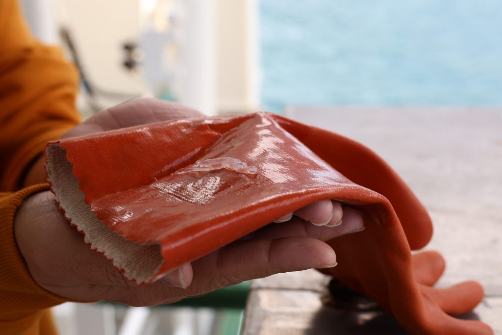
“We’ve picked up a hitchhiker,” she announces. There on the end of her finger is a translucent sea slug that had got sucked into one of the probe’s pumps.
Having briefly held up scientific operations, the unfortunate creature is returned to the sea and the expedition allowed to continue.
This is the third dispatch on the mission. To see the rest, visit the TERMINUS mission blog.
