February 10, 2023 at 10:30am CT
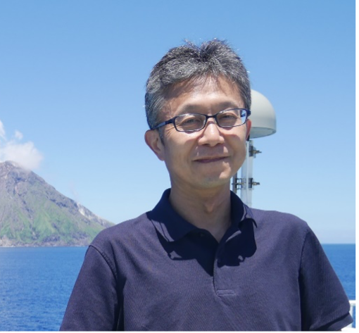
Speaker: Shuichi Kodaira, Director General, Research Institute for Marine Geodynamics, Japan Agency for Marine-Earth Science and Technology (JAMSTEC)
Host: Thorsten Becker
Title: Imaging, monitoring and modeling a seismogenic zone — Results and a future plan of JAMSTEC project
Abstract: Toward understanding subduction megathrust processes at present, predicting a fault slip behavior in the future, and mitigating hazards by subduction zone earthquakes and tsunamis are central scientific themes and tasks that society expects a scientific community to address. To challenge those scientific themes, we, JAMSTEC, have been conducting an integrated project in subduction zones which consists of imaging megathrust fault structures, monitoring a wide spectrum of fault slips, and simulating future fault behavior using the results of the imaging and monitoring studies. The Nankai Trough megathrust seismogenic zone is one of the primary fields of the project. For imaging the Nankai megathrust zone, we have been mapping a precise 3D structure of the megathrust fault zone by densely deployed active-source seismic profiles covering the entire region of the Nankai Trough. From the 3D seismic image, we observe structural factors which are interpreted to control slips and coupling of the megathrust. For monitoring slip behavior, we have been developing a real-time seafloor geodetic monitoring system to detect activities of a wide spectrum of fault slips, including a regular earthquake, low-frequency tremors, very low-frequency earthquake, and short-term and long-term slow slip events. In this system, a tilt meter, pressure sensor, and fiberoptic strain meter are installed in a shallow or deep borehole. To continuously transfer the observed data to a land station in real-time, the geodetic sensors are connected to DONET, a cabled earthquake and tsunami monitoring system. To simulate and forecast a megathrust slip behavior, we have been constructing a realistic 3D Nankai megathrust zone model and developing simulation techniques to estimate the temporal evolution of fault slip and coupling in the megathrust zone with consideration of uncertainties of the model and the data. In addition to the Nankai project, I will talk about results of integrated study, which consists of seismic imaging, earthquake monitoring and tsunami simulation, in the outer-trench region of the Japan and the Kuril trenches.

