Tuesday, March 5, 2024 at 11:00am CT
Speaker: Will Struble, Postdoctoral Research Associate, University of Arizona
Host: Ethan Conrad
Title: Landslides, Lakes, and Landscapes: Interpreting surface processes and landscape morphology to reveal natural hazards
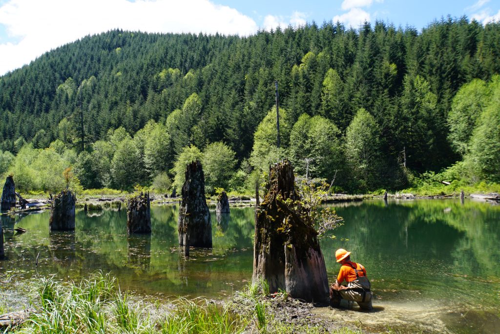
Abstract: Landscapes evolve through the contribution of uplift and erosion acting over numerous spatial and temporal scales, including by stochastic earthquake and hydrologic processes. Along the Cascadia Subduction Zone, great earthquakes (Mw>8) occur approximately every 300-500 years, but the impact of these earthquakes on the landscape has remained ambiguous. While >20,000 bedrock landslides have been mapped to date in the Oregon Coast Range, no slope failure has been clearly linked with the most recent megathrust earthquake, a Mw ~9.0 that occurred on January 26, 1700. We utilized dendrochronology of drowned ghost forests to determine the age of landslide-dammed lakes in western Oregon, often with seasonal accuracy, and we observed temporal clustering of landslides that records significant regional flooding events. Intriguingly, no dated landslide dams correspond with the 1700 earthquake, emphasizing the outsized role that large storms play in initiating bedrock landslides in the Pacific Northwest. Crucially, the lack of a 1700-dated landslide raises mechanistic questions about processes that may inhibit the triggering of coseismic slope failures, such as the seismic-wave damping properties of old-growth forests.
Over longer timescales, landscape morphology serves as a template that defines where natural hazards occur. For instance, debris flows incise steep valley bottoms and transport significant sediment volumes, especially following wildfire. However, their contributions to setting landscape form, and by extension encoding tectono-climatic processes in the landscape, remain ambiguous. We quantified steepland morphometrics that record debris-flow processes in the San Gabriel Mountains, California. We observed that the drainage area at which steepland, debris-flow dominated valleys transition to fluvial channels correlates with measured uplift and erosion rates. We additionally put forward a landscape evolution model that includes debris-flow incision to reproduce relationships between erosion rate and steepland form and put constraints on the mathematical form of a debris-flow incision law. More broadly, our results allow for enhanced linkages between landscape morphology and processes. Applications include mapping hazards associated with coseismic subsidence during megathrust earthquakes and interpreting drainage network evolution over geologic time.


