Jump to Catch up with friends, heckle enemies. Find out whose doing what at AGU Fall with our (mostly) comprehensive schedule of talks and posters from current (and recent) UTIG research staff and students. Notice something amiss, get in touch! Monday, December 9 All times local Washington, D.C. time (EST). Julia Miller Preconditions of wildfires… Continue Reading UTIG at AGU Fall Meeting 2024
Helping the Karuk Tribe in California Prepare for Climate Challenges
UTIG’s Danielle Touma is winner of the 2024 Women In Science Incentive Prize. The award’s theme this year was extreme weather. This story by Lucy Sherriff at The Story Exchange goes into Touma’s work helping the Karuk Tribe manage wildfires in California. Danielle Touma is no stranger to drought. The research professor at University of… Continue Reading Helping the Karuk Tribe in California Prepare for Climate Challenges
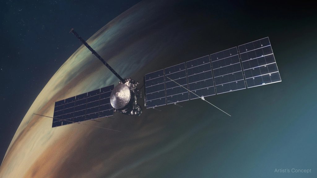
Uranus’s Swaying Moons will Help Spacecraft Seek Out Hidden Oceans
When NASA’s Voyager 2 flew by Uranus in 1986, it captured grainy photographs of large ice-covered moons. Now nearly 40 years later, NASA plans to send another spacecraft to Uranus, this time equipped to see if those icy moons are hiding liquid water oceans. The mission is still in an early planning stage. But researchers… Continue Reading Uranus’s Swaying Moons will Help Spacecraft Seek Out Hidden Oceans
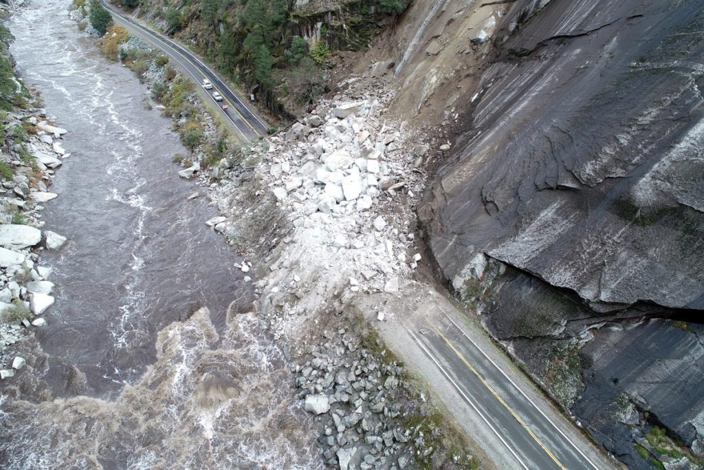
‘Giant Lab Experiment’ Leads to New Model for Predicting Landslides
Landslides are a perennial threat in California, where the geology and steep topography mean the land is more prone to slipping than in other places. Now, researchers at the University of Texas Institute for Geophysics and UC Santa Cruz studying two large Northern California landslides think they’ve found the key to predicting landslide motion hidden… Continue Reading ‘Giant Lab Experiment’ Leads to New Model for Predicting Landslides
NASA Europa Mission Set to Launch with UT Austin Instrument to Explore Jupiter’s Ocean World
Europa Clipper Launch Party UTIG Second Floor Ice Pod October 14, 2024 10:35 am – 12:00 pm* Map and directions. One of the great mysteries of the solar system is whether the ingredients for life exist below the surface of Jupiter’s icy ocean moon Europa. On Monday, Oct. 14, NASA is scheduled to launch Europa… Continue Reading NASA Europa Mission Set to Launch with UT Austin Instrument to Explore Jupiter’s Ocean World
- « Previous Page
- 1
- 2
- 3
- 4
- 5
- …
- 50
- Next Page »


