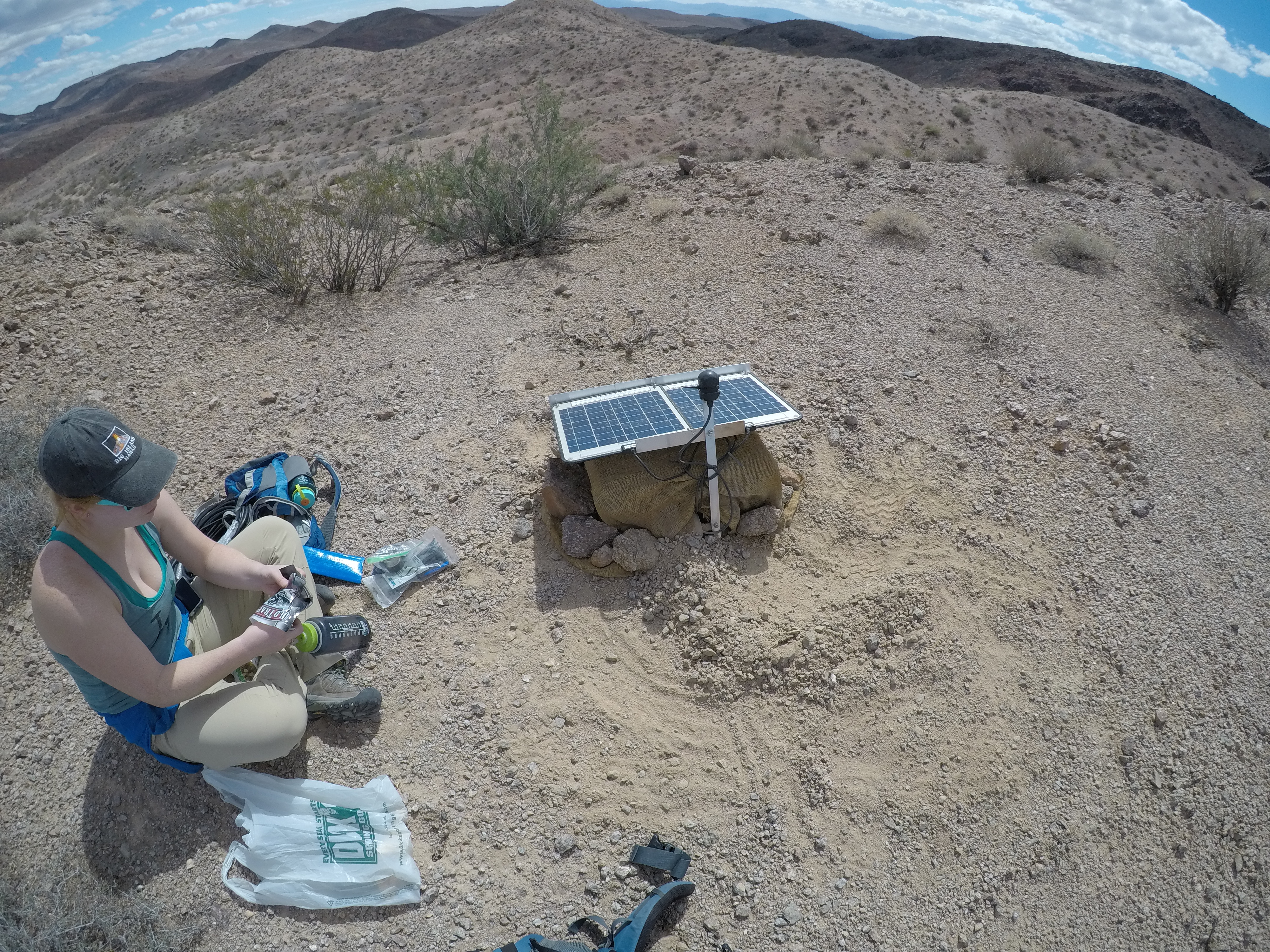
In May 2018 UTIG postdoc Rob Porritt and a team of students spent six days deploying nineteen seismic sensors in the Mojave Desert. On October 11, Porritt and a second student team returned to the desert to download data and check on the sensor stations. Early data analysis shows surprising results and bodes well for a similar experiment in southeast Texas.
An experiment to study the deep structure of the Earth’s crust using a new type of mobile seismic sensor system developed at UTIG has shown promising results following a May deployment. A team, headed by Porritt, returned to the Mojave Desert in eastern California to download sensor data and confirm that the previously untested systems were operating correctly. They found that most had operated perfectly and collected high quality data, a feat previously only possible using sensors embedded in costly, permanent structures.
Project co-leader Professor Thorsten Becker said,
“The data quality appears excellent and is already showing some intriguing features. We’re seeing differences across the array – this could hint at structure, which is exactly what we were looking for.”
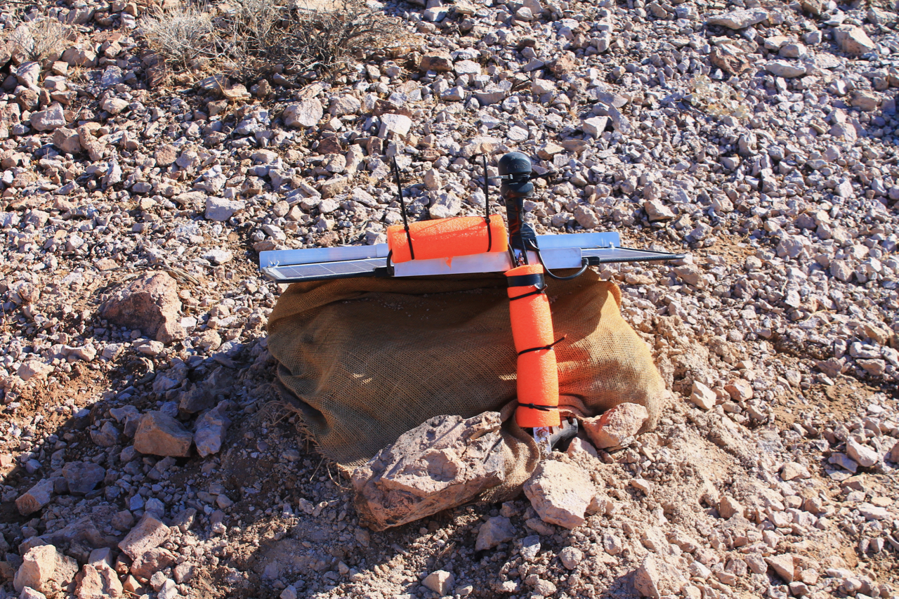
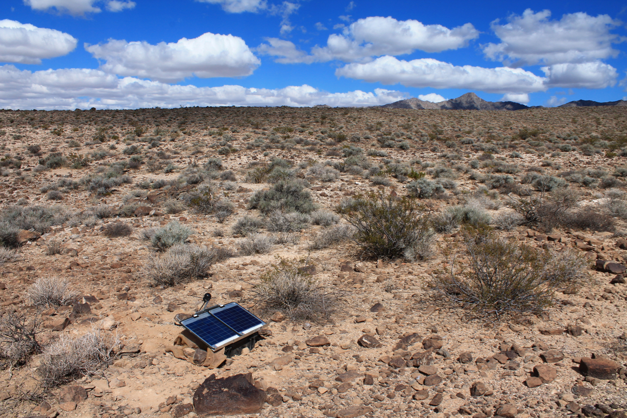
The mobile seismic sensor units were developed at UTIG and will continue gathering data in the Mojave Desert for two years. Each sensor unit includes a portable broadband seismometer, data logger, solar panels, a battery and other off-the-shelf components. The units are waterproof and were designed to be carried easily, for example on a backpack. The innovative design allows the sensor units to be deployed quickly and easily by burying them directly into the ground. Rob Porritt, a postdoc at UTIG who led both the deployment trip in May and the recent update trip, was pleased to see the experimental design working so well. However, as with all fieldwork involving new technology not everything went according to plan.
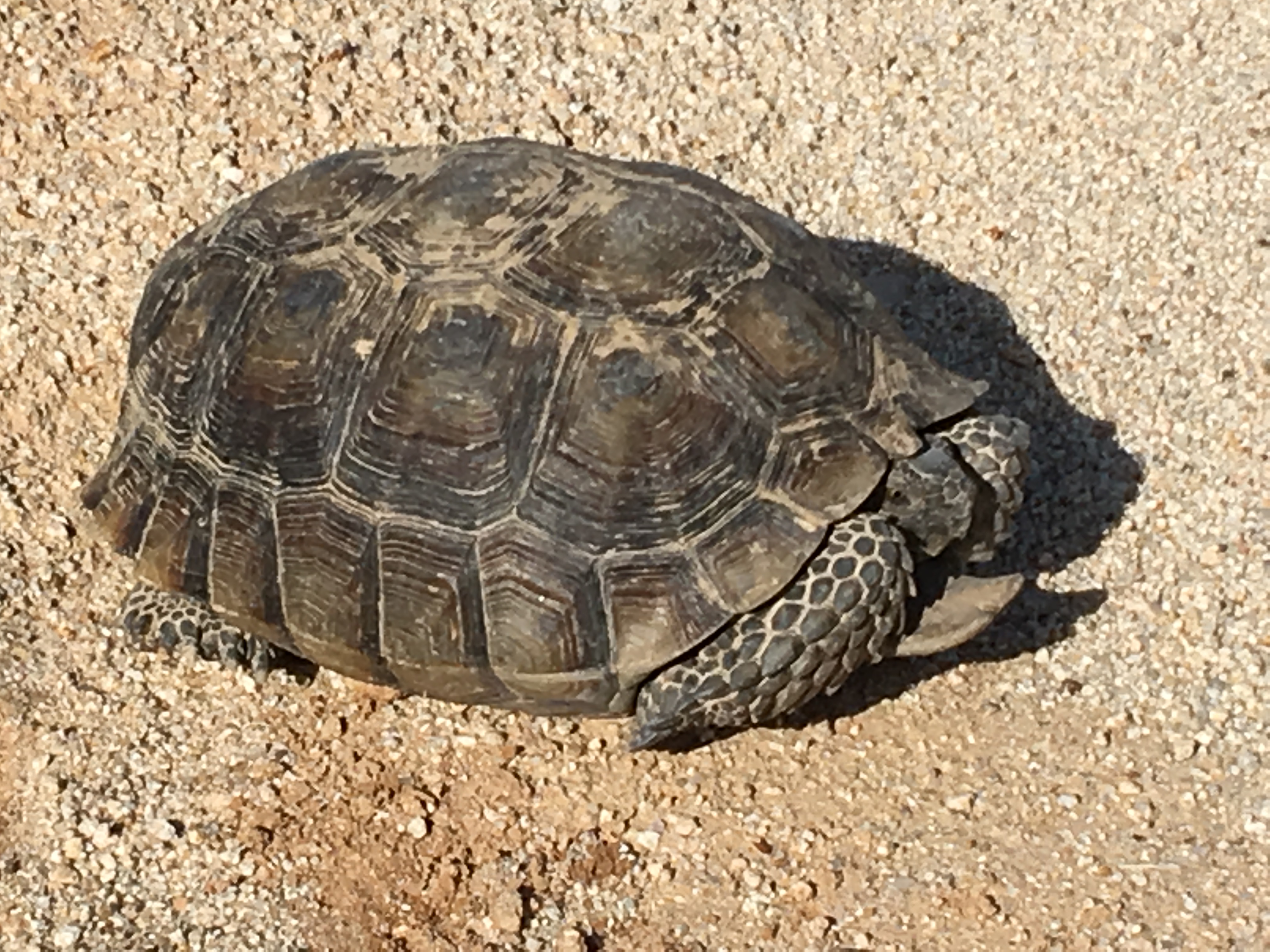
“This is the first time these instruments have been deployed. Much of the equipment is untested in the field so there’s always the possibility of finding an issue we didn’t plan for. To come back and see good results was very encouraging. We had some issues with desert critters chewing through some cables but we fixed these and added additional protection to keep this from happening again.”
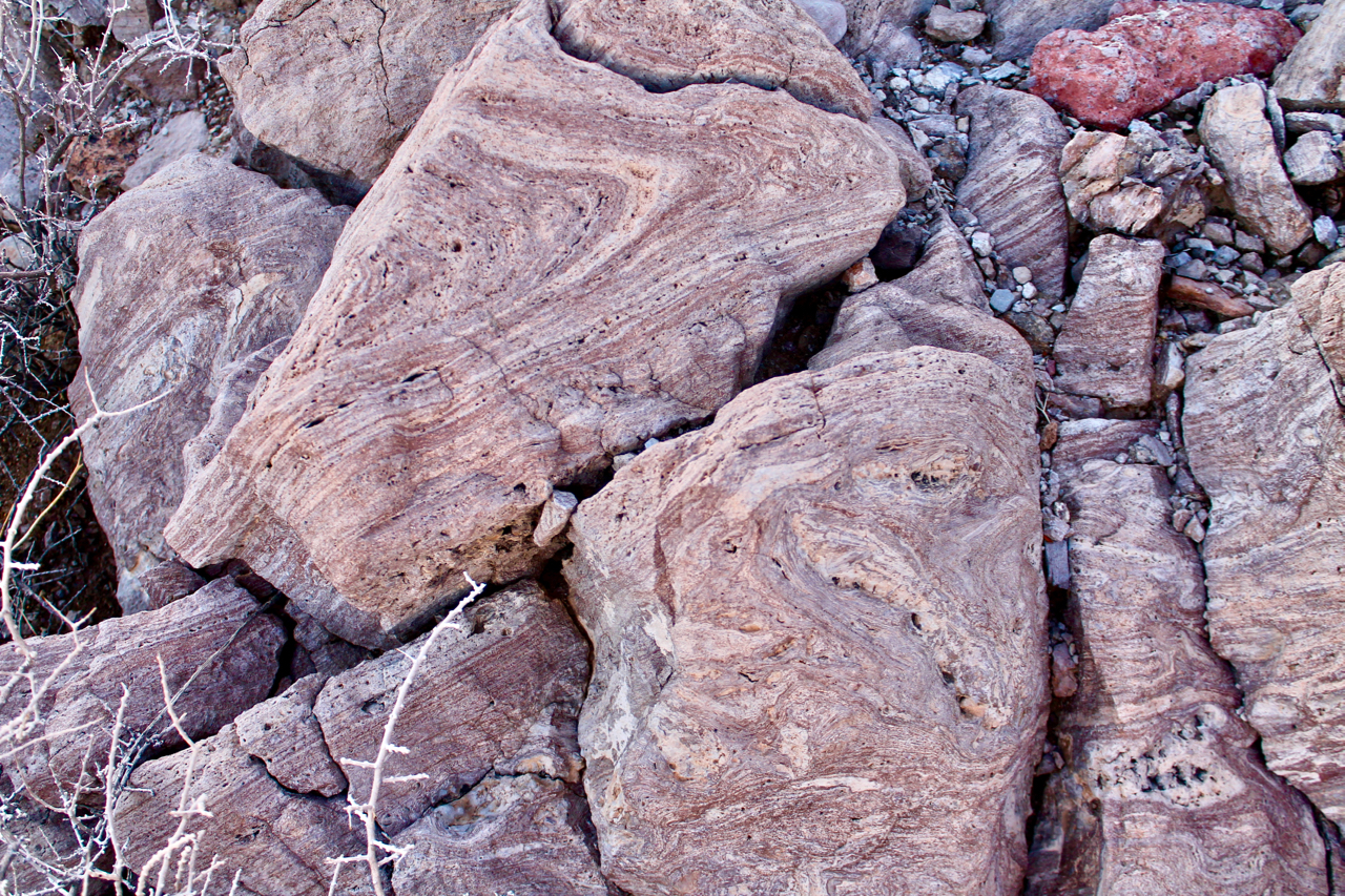
The Mojave Broadband Seismic Experiment aims to study fault systems at depth and show that this can be done using small-footprint, lightweight, portable instruments. The sensors were placed across an area known as the Eastern California Shear Zone, a fault zone running roughly parallel to the San Andreas Fault. Although connected to the San Andreas Fault, the Eastern California Shear Zone is a much younger fault system and has received relatively little scientific attention.
The experiment uses a line of seismic sensors placed at roughly two-kilometer intervals (about one and a quarter miles) to show how seismic energy travels through the Earth’s crust. The sensors are situated in such a way to reveal the underlying fault system in unprecedented detail and help build a picture of structures in the Earth’s lithosphere – the hard, rigid layer of the Earth including the crust and upper mantle which make up the tectonic plates. Becker and Porritt expect the data to show how stress levels in the fault zone change over time and better characterize the relationship of the Eastern California Shear Zone to the San Andreas fault system.
The sensor units deployed in the Mojave Desert experiment are just nineteen of eighty systems in UTIG’s new broadband seismic sensor pool. Twenty-five will be deployed at another experiment in southeast Texas called TexNet, a collaboration with the University of Texas Bureau of Economic Geology (BEG) to learn more about the crustal structure in Texas and show how human activity such as wastewater injection and hydraulic fracturing is affecting Texas and the Gulf of Mexico. Lessons learned from the Mojave Desert deployment will ensure the southeast Texas deployment goes smoothly.