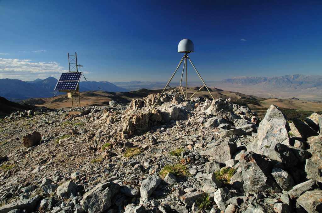
Surface mapping technology such as GPS, radar and laser scanning have long been used to measure features on the Earth’s surface. Now, a new computational technique developed at The University of Texas at Austin is allowing scientists to use those technologies to look inside the planet. The new technique, described by researchers as “deformation imaging,”… Continue Reading New Imaging Technique Uses Earth’s Warped Surface To Reveal Rocky Interior
Stories from the desert: Servicing the Mojave Broadband Seismic Experiment
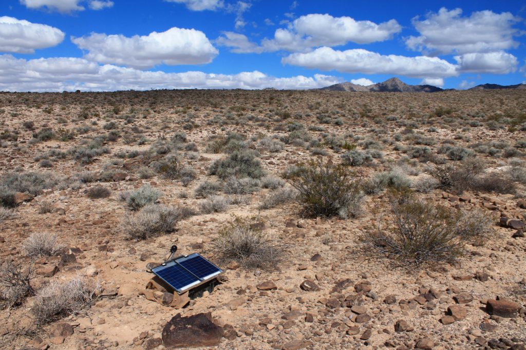
Geoscience field trips can be grueling and – without the right preparation – hazardous. Research sites are often miles away from civilization, accessible only by foot or helicopter. For many, however, being surrounded by nothing but untouched nature is reward in itself. The trip to service the Mojave Broadband Seismic Experiment began on October 10… Continue Reading Stories from the desert: Servicing the Mojave Broadband Seismic Experiment
From the field: Revealing the deep structure of the Mojave Desert
In May 2018 UTIG postdoc Rob Porritt and a team of students spent six days deploying nineteen seismic sensors in the Mojave Desert. On October 11, Porritt and a second student team returned to the desert to download data and check on the sensor stations. Early data analysis shows surprising results and bodes well for… Continue Reading From the field: Revealing the deep structure of the Mojave Desert


