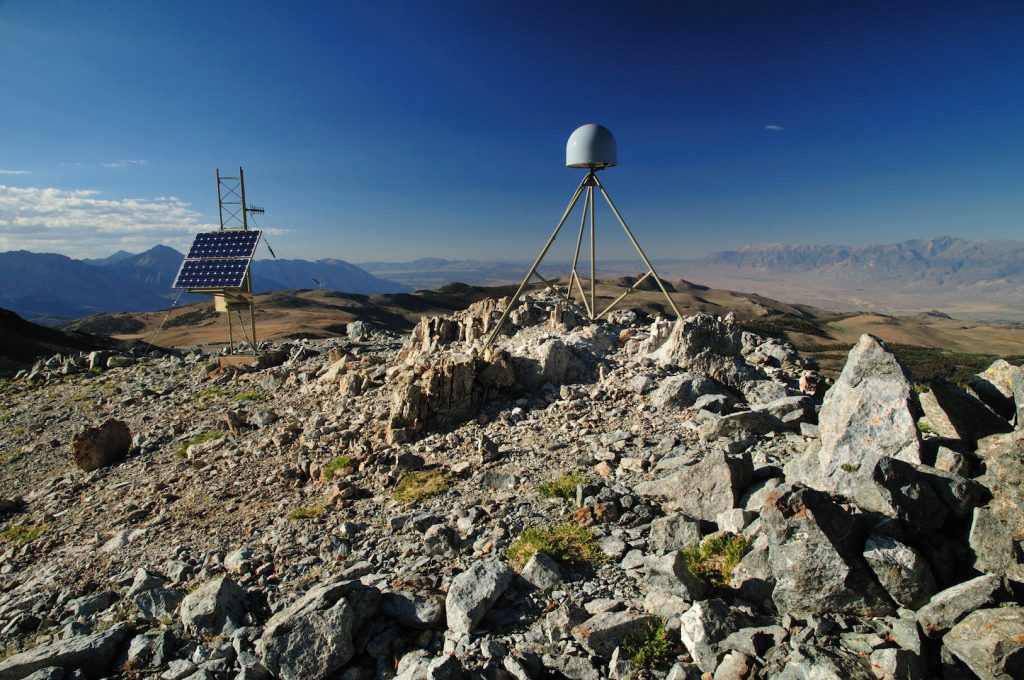
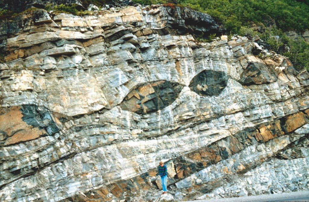
Surface mapping technology such as GPS, radar and laser scanning have long been used to measure features on the Earth’s surface. Now, a new computational technique developed at The University of Texas at Austin is allowing scientists to use those technologies to look inside the planet. The new technique, described by researchers as “deformation imaging,”… Continue Reading New Imaging Technique Uses Earth’s Warped Surface To Reveal Rocky Interior
Fate of Sinking Tectonic Plates is Revealed
Our world’s surface is a jumble of jostling tectonic plates, with new ones emerging as others are pulled under. The ongoing cycle keeps our continents in motion and drives life on Earth. But what happens when a plate disappears into the planet’s interior? The question has long puzzled scientists because conventional wisdom said that sinking… Continue Reading Fate of Sinking Tectonic Plates is Revealed
Earthquake Forecasts Move a Step Closer to Reality
Earthquakes — like lightning — strike unpredictably. The Earth’s tectonic plates, however, hide subtle warnings that a major fault may soon break. Like forecasting a thunderstorm, knowing how to read the warnings could help communities protect lives, infrastructure and local economies. For decades, scientists have struggled to reliably give forecasts for major earthquake hotspots, but… Continue Reading Earthquake Forecasts Move a Step Closer to Reality
Dunyu Liu: Computational Geoscientist
MEET THE SCIENTIST Dunyu Liu is a computational geoscientist at the University of Texas Institute for Geophysics (UTIG), and the first official hire to support computational science activities across UTIG. A seismologist by training, Liu is helping build bridges between geophysical research and high performance computing. In 2008, when Dunyu Liu was an undergraduate, a… Continue Reading Dunyu Liu: Computational Geoscientist


