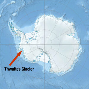
Polar researchers from the University of Texas Institute for Geophysics (UTIG) have joined colleagues in West Antarctica to conduct vital surveys of one of the most unstable glaciers on Earth. At around the size of Florida, Thwaites Glacier holds enough water to raise average global sea levels up to a meter. What’s more, if it collapses – as scientists believe it soon will – the knock-on effect among neighboring glaciers could triple its sea-level impact.
The investigation is part of LIONESS, an international collaboration between The University of Texas at Austin, Montana State University, and the Korea Polar Research Institute (KOPRI), which aims to resolve unanswered questions about the sprawling Thwaites Glacier system.
The UTIG team, which includes research scientist associate Dillon Buhl, postdoc Anja Rutishauser and grad student Natalie Wolfenbarger, will study the underside of the glacier using a suite of airborne geophysical instruments and sensors. Former UTIG colleague Lucas Beem, who is now a researcher at Montana State University, is also part of the team.
Scientists have had their eye on Thwaites Glacier since surveys conducted in 2004 and 2005 revealed alarming instability in West Antarctica. Those survey missions, which included UTIG senior research scientist Donald Blankenship and research scientist Duncan Young, discovered that the glacier lies over a vast and deep basin, much of which is below sea level.
A single narrow ridge facing the sea keeps the glacier in place and seawater out. Scientists fear that if warm seawater breaches this ridge, the giant glacier will be eroded from underneath and collapse unstoppably, raising sea level as it does.
Who are the researchers investigating Thwaites Glacier
> Read more
Water systems under the ice sheet may also reorganize in response, further lubricating the ice and accelerating ice loss.
To further complicate matters, the Earth’s mantle beneath the glacier is unusually soft. That means as the weight of the ice is lifted, the mantle that was displaced by the weight of the glacier will ooze back up, lifting the overlying bedrock with it. This process could help reduce total global sea level rise, although it is unclear by how much.
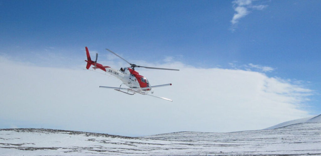
LIONESS will focus on the details of the glacier’s “pinning” ridge by carefully mapping it with helicopter-mounted, ice-penetrating radar. The flights will replicate the airborne studies flown in 2004 and 2005 but at a much greater resolution.
Pioneered by Blankenship’s group at UTIG, the radar system should reveal in detail the network of water channels beneath Thwaites Glacier and how they are changing.
We’ll posting more about this story, including news from our polar researchers. Read more.
For the latest updates, follow us on Twitter, Facebook or Instagram.
For media information, contact:
Constantino Panagopulos, 512-574-7376
WHAT IS LIONESS?
LIONESS (Land-Ice/Ocean Network Exploration with Semi-autonomous Systems) is a collaboration between The University of Texas at Austin, Montana State University and the Korea Polar Research Institute (KOPRI), complementing the ongoing International Thwaites Glacier Collaboration led by the US and UK. The international team of scientists traveling to Antarctica will spend three weeks on the glacier conducting aerial surveys from a helicopter using ice penetrating radar, laser altimetry and sensors that measure the bed rock geology. The KOPRI team will also conduct seismic surveys of the Earth’s subsurface and deploy glacier monitoring marine sensors.


