
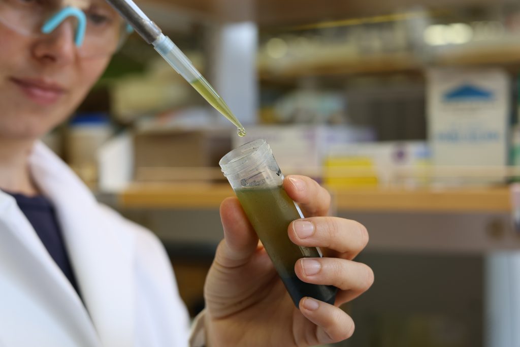
Organofluorine compounds — sometimes called ‘forever chemicals’ — are increasingly turning up in our drinking water, oceans and even human blood, posing a potential threat to the environment and human health. Now, researchers at The University of Texas at Austin have developed a way to fingerprint them, which could help authorities trace them to their… Continue Reading Forever Chemical Pollution Can Now Be Tracked
New Imaging Technique Uses Earth’s Warped Surface To Reveal Rocky Interior
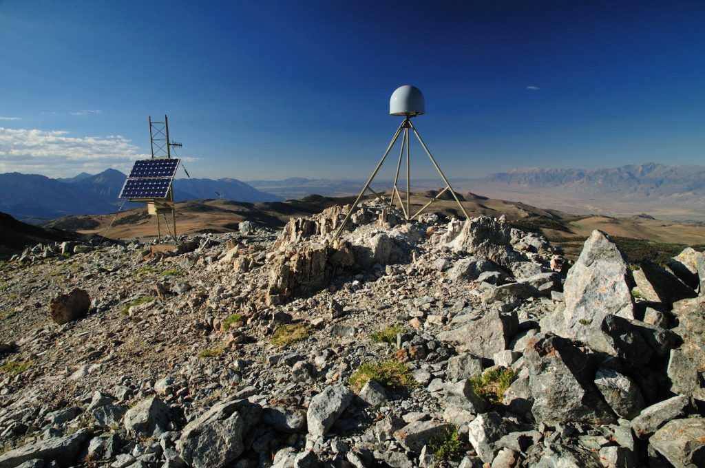
Surface mapping technology such as GPS, radar and laser scanning have long been used to measure features on the Earth’s surface. Now, a new computational technique developed at The University of Texas at Austin is allowing scientists to use those technologies to look inside the planet. The new technique, described by researchers as “deformation imaging,”… Continue Reading New Imaging Technique Uses Earth’s Warped Surface To Reveal Rocky Interior
UTIG Researchers to Lead Funded Study of Methane Hydrates
The University of Texas Institute for Geophysics will lead a research team in a newly funded $58 million effort to study methane hydrates in the Gulf of Mexico as a potential energy source. Full details on the upcoming research and the grant, one of the largest ever awarded to the university, can be read here.