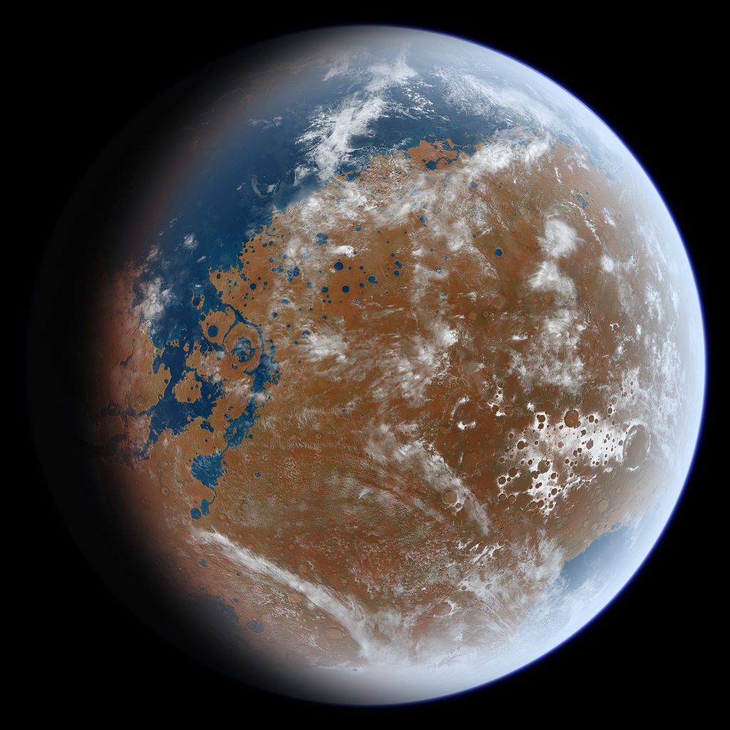
Billions of years ago, water flowed on the surface of Mars. But scientists have an incomplete picture of how the Red Planet’s water cycle worked. That could soon change after two graduate students at The University of Texas at Austin filled a large gap in knowledge about Mars’ water cycle — specifically, the part between… Continue Reading UT Austin Grad Students Find Missing Link in Early Martian Water Cycle
Into the Glacial Abyss
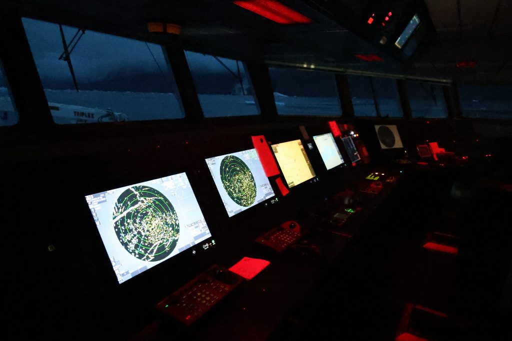
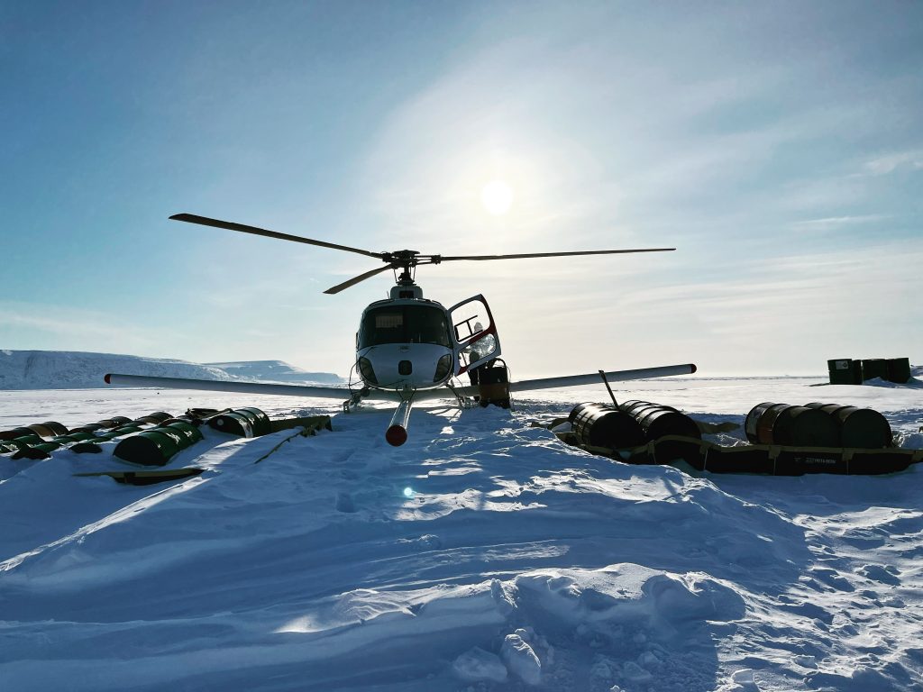
In summer 2024, a Greenland expedition led by the University of Texas Institute for Geophysics dove into an undiscovered frontier in search of answers about future sea level rise BY CONSTANTINO PANAGOPULOS On the far western edge of Greenland’s ice sheet, a large glacier leads to the sea, where it breaks against the water like… Continue Reading Into the Glacial Abyss
New Imaging Technique Uses Earth’s Warped Surface To Reveal Rocky Interior
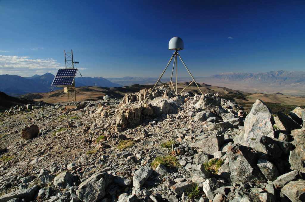
Surface mapping technology such as GPS, radar and laser scanning have long been used to measure features on the Earth’s surface. Now, a new computational technique developed at The University of Texas at Austin is allowing scientists to use those technologies to look inside the planet. The new technique, described by researchers as “deformation imaging,”… Continue Reading New Imaging Technique Uses Earth’s Warped Surface To Reveal Rocky Interior
Holding Tight
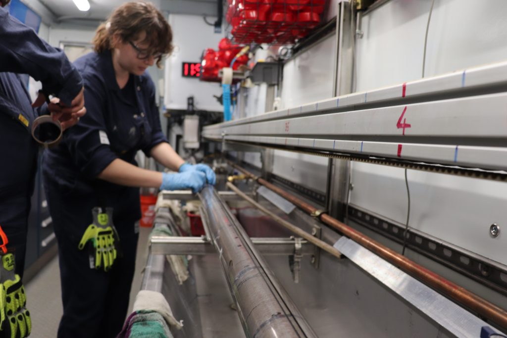
By Monica Kortsha Last night, Peter Flemings, the mission’s lead scientist and a professor at The University of Texas at Austin Jackson School of Geosciences, called the science team together. He wanted to make sure everyone was up to speed on the science and the mission progress – which had picked up momentum during the… Continue Reading Holding Tight
New Radar Technique Lets Scientists Probe Invisible Ice Sheet Region on Earth and Icy Worlds
Scientists at the University of Texas Institute for Geophysics (UTIG) have developed a radar technique that lets them image hidden features within the upper few feet of ice sheets. The researchers behind the technique said that it can be used to investigate melting glaciers on Earth as well as detect potentially habitable environments on Jupiter’s… Continue Reading New Radar Technique Lets Scientists Probe Invisible Ice Sheet Region on Earth and Icy Worlds
- 1
- 2
- 3
- 4
- Next Page »

