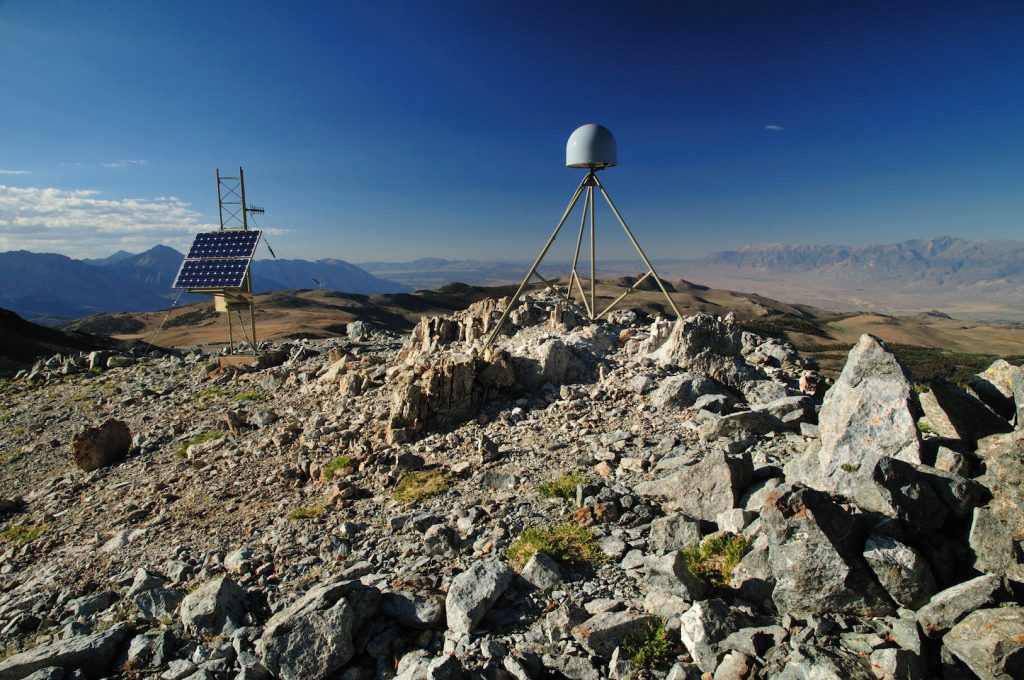
Surface mapping technology such as GPS, radar and laser scanning have long been used to measure features on the Earth’s surface. Now, a new computational technique developed at The University of Texas at Austin is allowing scientists to use those technologies to look inside the planet. The new technique, described by researchers as “deformation imaging,”… Continue Reading New Imaging Technique Uses Earth’s Warped Surface To Reveal Rocky Interior
Big Data Imaging Shows Rock’s Big Role in Channeling Earthquakes in Japan
Thanks to 20 years of seismic data processed through one of the world’s most powerful supercomputers, scientists have created the first complete, 3D visualization of a mountain-size rock called the Kumano Pluton buried miles beneath the coast of southern Japan. They can now see the rock could be acting like a lightning rod for the… Continue Reading Big Data Imaging Shows Rock’s Big Role in Channeling Earthquakes in Japan


